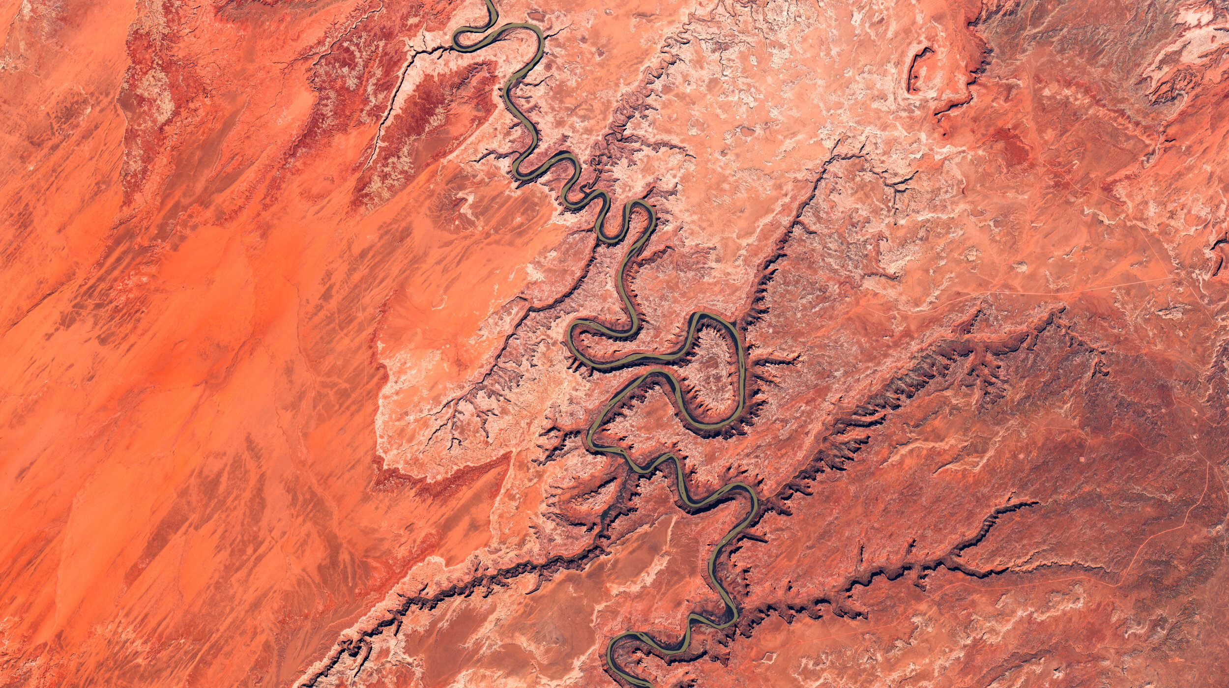
Here’s a view from April 6th of the intersection of the Green River (left) and the Colorado River (right), with Upheaval Dome in the center (a somewhat recently confirmed impact crater).
Each layer of rock in this incredible region tells a widely different story: a land of shallow seas, millions of years as a swamp, millions more as a desert, another several million as coastal sand dunes, then mud flats and back to desert. Then, 70 million years ago, the Laramide orogeny pushed up many of North America’s mountains and plateaus, while glaciation and a series of ice ages increased erosion, leading to the exposure of the rainbow layers now visible in places like here in the Canyonlands.
Unlike other deserts across the world, one reason this area is not covered in sand dunes despite the high presence of erodible stone is due to cryptobiotic soil—a living crust composed of lichen, bacteria, cyanobacteria, algae and fungi. This layer of soil takes centuries to grow, covers up to 70% of the ground in some parts of Utah and provides protection to this incredible corner of the world. (Don’t step on it!).
Satellite data from ESA’s Copernicus program. CC BY-SA 3.0 IGO.
